User Group Leader: Andrea Maria Gennaro – Superintendency of Reggio Calabria and Vibo Valentia
VENUE: San Giorgio Morgeto (RC)
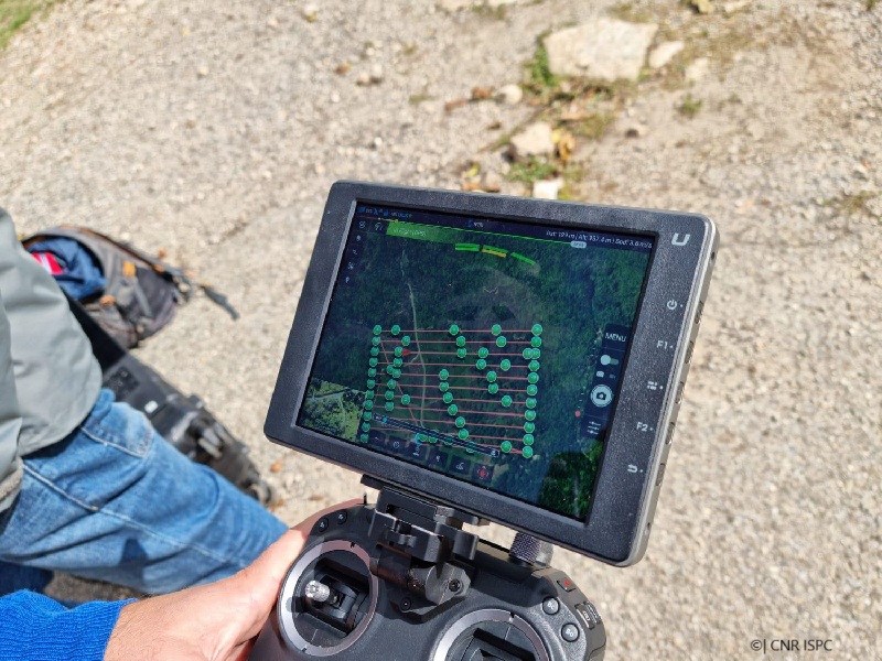
The PhoLidAlta project deals on the potential of an integrated approach using aerial LiDAR, aerial and terrestrial photogrammetry, terrestrial laser scanning and archaeological survey. This approach was applied to the fortified site of Altanum in Calabria, a densely vegetated area in southern Italy. Altanum was chosen as a case study because, to date, no updated and modern archaeological documentation exists for the hill of Sant’Eusebio and the conditions of the scenario were ideal for the purpose of the project.Altanum was a large, fortified settlement characterised by a long occupation, especially during the Byzantine and Norman-Swabian periods. The activity began by carrying out a LiDAR survey of the whole hill. The acquired LiDAR data were processed and filtered to obtain a DFM (Digital Feature Model) useful for the identification of features of archaeological interest. Several enhancement techniques were performed on DFM to increase the visibility of archaeological features. The features thus identified were subsequently surveyed using terrestrial and aerial photogrammetry integrated with laser scanning to document the visible buildings. The most significant result of the study was to create a single GIS platform with the integration of all data in order to delineate the whole settlement layout, as well as to produce 2D and 3D datasets useful for the knowledge and protection of the identified remains.
The complete report at: https://zenodo.org/records/14730902